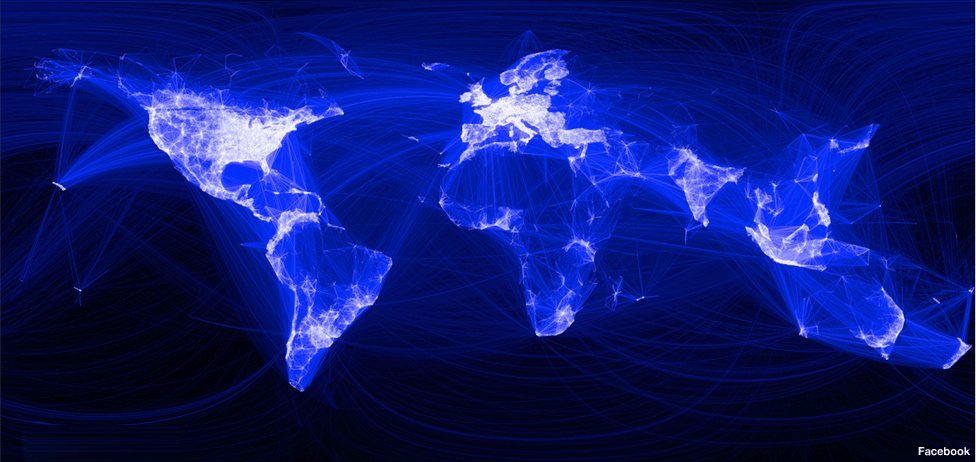
Facebook intern Paul Butler has been poring through some of the data held by the social networking firm on its 500m members.
The map above is the result of his attempts to visualise where people live relative to their Facebook friends. Each line connects cities with pairs of friends. The brighter the line, the more friends between those cities.
After tweaking the graphic and data set it produced a “surprisingly detailed map of the world”.
Full story: www.bbc.co.uk/news/science-environment-11989723


look at china and best korea.
Where are they? 🙂
Put “friendship” in quotes.
I don’t has a Facebook
Eiffel tower!
I adore this picture and I don’t use facebook either, guess why certain countrys are missing, one is the great firewall of China.
Moscow is so ronery in the middle of that black void. Due to the fact that Russia uses a different social network, but still. I wonder what the map would look like if you added all the social networks…
lol @... africa